
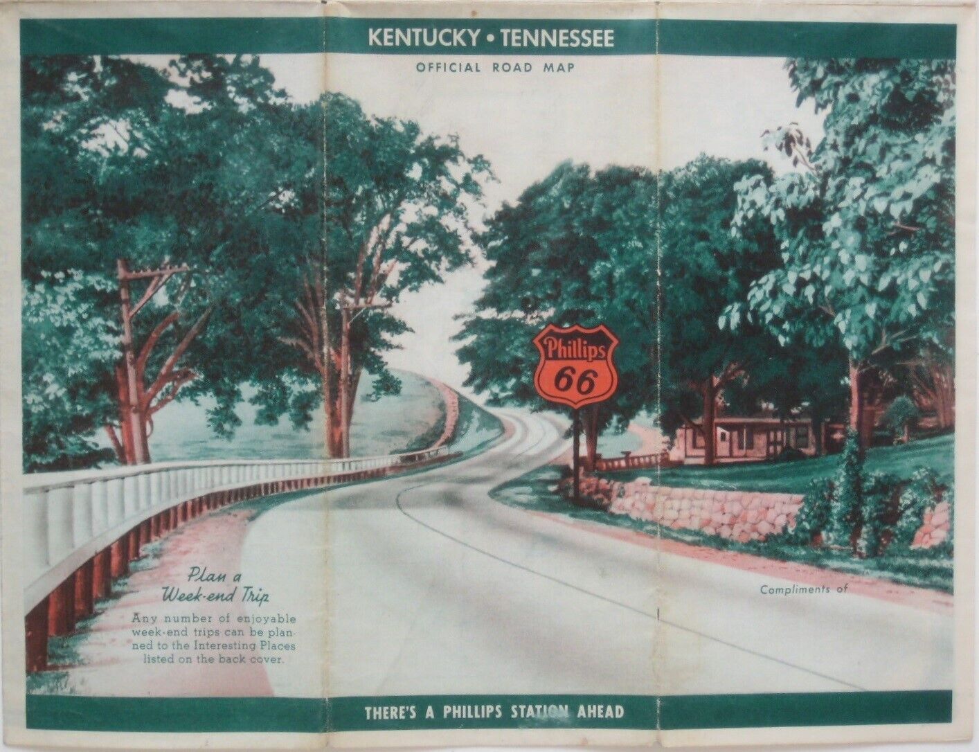
Vintage 1940 PHILLIPS 66 Road Map KENTUCKY TENNESSEE Airport Railroad Stations For Sale
When you click on links to various merchants on this site and make a purchase, this can result in this site earning a commission. Affiliate programs and affiliations include, but are not limited to, the eBay Partner Network.

Vintage 1940 PHILLIPS 66 Road Map KENTUCKY TENNESSEE Airport Railroad Stations:
$19.99
Vintagefold-out 1940 Phillips 66 road map of Kentucky and Tennessee, printedmorethan 80 yearsago. - The map opens to 18" x 24"and has great detail on old highwayalignments and route numbers, with cartography by H.M. Gousha.
- The legend key identifies road surfaces (paved, improved,graded, and dirt), and the map locates airports, railroad stations,county boundaries,and points of interest.
- There's a highway map of the United States on the reverseside.
- The map was published by the Phillips Petroleum CompanyofBartlesville, Oklahoma, in 1940 and is dated by the codenumber in the lower margin: A-N-1. Population data is from the 1930census.
- Condition: This map is in very goodcondition, bright and clean, with norips, tears, or writing. It folds to 9" x 4". Please see the scans and feel freeto ask anyquestions.
- Buy with confidence! We are always happy to combineshipping on thepurchase of multiple items — just make sure to pay for everythingat one time, not by SixBit's eCommerce Solution

|
Other Related Items:
Related Items:
Vintage Sewing Pattern Lot of 32+- 1940s-2020s Women's Men's Children's All Size $50.00

Vintage 1940 Fredericksburg Pottery Fan Vase Ceramic Pink w/Floral Design $13.00

Antique Vintage 1940s Niagara Junior Guide Bike Light -KR33 $60.00
| 


