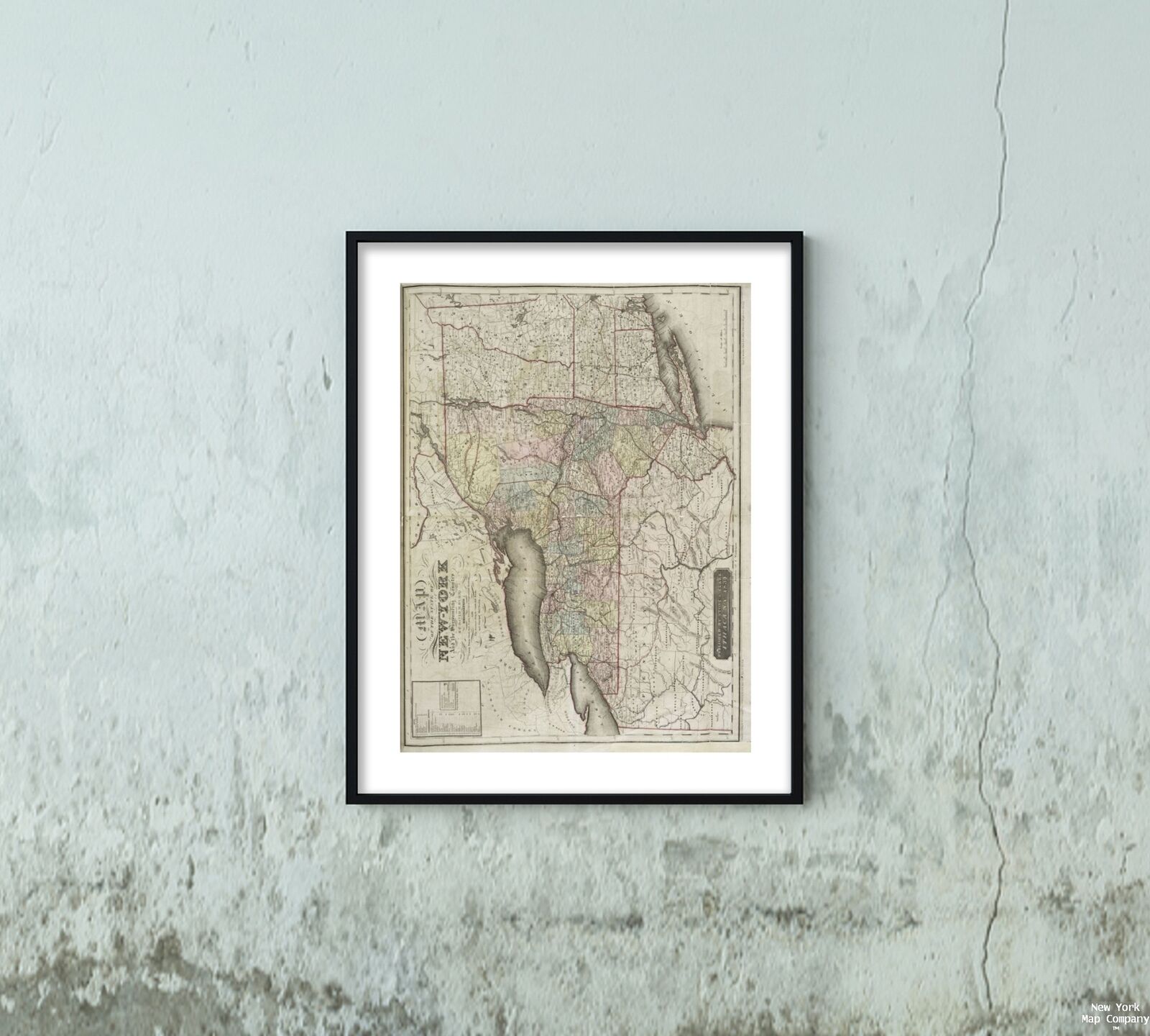
1839 Map of Ithaca, N.Y. | New York | Vintage Ithaca New York Map Reproduction | For Sale

When you click on links to various merchants on this site and make a purchase, this can result in this site earning a commission. Affiliate programs and affiliations include, but are not limited to, the eBay Partner Network.

1839 Map of Ithaca, N.Y. | New York | Vintage Ithaca New York Map Reproduction |:
$33.99
Map size: 18 inches x 2 feet (60.96cm x 45.72cm) | Ready to frame in standard size frame (18x24) | Frame not included | Archival quality reproduction1839 map of Ithaca, N.Y. Map of the state of New-York and the surrounding country Burr, David H. (1803-1875 ) (Cartographer) Publisher/ Stone and Clark Powered by SixBit\'s eCommerce Solution 
|
Other Related Items:
Related Items:
1839 Map Roads And Canals New Albany St. Louis & New Orleans Railroad $19.99

1839 Map| Map of the County of Crawford, Pennsylvania| Cadastral Crawford County $34.99

1839 Map| Map and profile of the Gettysburg Rail Road as surveyed by order of th $34.99
| 


